Dubai Water Canal
- Accessibility not confirmed
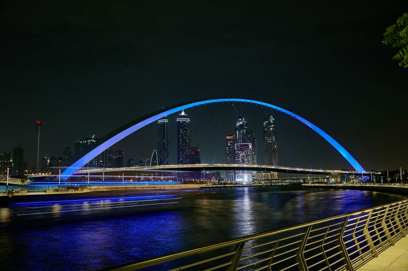
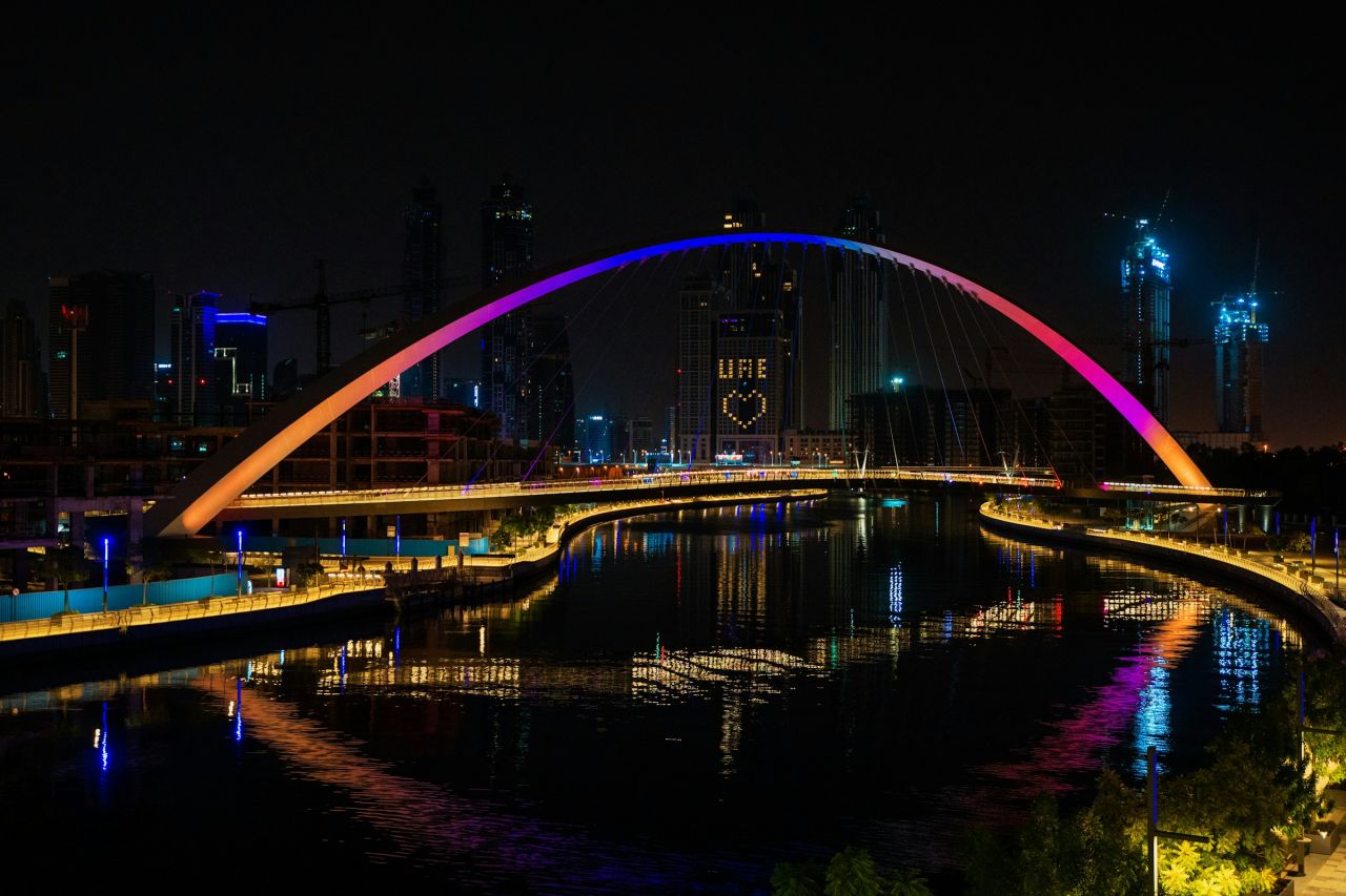
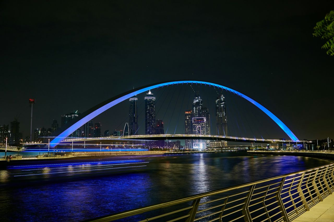
A 3.2km man-made waterway opened in 2016, linking Dubai Creek through Business Bay to the sea at Jumeirah. Promenades on both banks give 6.4km of path for walking, running and cycling, crossed by footbridges including the Tolerance Bridge.
What to see
- 6.4km of waterfront path across both banks
- Tolerance Bridge, a purple-hued arch footbridge named in 2017
- Five pedestrian bridges over the canal
- Boardwalk access beside Safa Park
- Skyline views from the bridges
How to get there
- Metro
- Business Bay station on the Red Line.
- Taxi
- Ask for the Dubai Water Canal boardwalk near Safa Park, or the Tolerance Bridge.
- Parking
- Near Safa Park and in the streets next to the Tolerance Bridge.
Open the location of Dubai Water Canal in OpenStreetMap (external site)
Staying close by: hotels near Dubai Water Canal (27 we recommend within 5 km)
Tips for your visit
- There is no single entrance; the boardwalk near Safa Park is a common starting point.
- Business Bay station on the Red Line is the closest metro stop.
- Parking is spread out: near Safa Park, in the residential streets by the Tolerance Bridge, and at other spots along the walk.
Accessibility
Accessibility not confirmed.
Questions and answers
How long is the Dubai Water Canal?
The canal is 3.2km long. With paths on both sides, there is 6.4km of waterfront for walking, running and cycling.
When did the canal open?
In 2016.
What is the bridge called?
The best-known of the five footbridges is the Tolerance Bridge, named in November 2017.
Where can I park?
There is no main car park. Visit Dubai points to parking near Safa Park and in the residential areas by the Tolerance Bridge.
Where this information comes from
- Length, opening year, construction facts, bridges, access, parking, transport, coordinates: visitdubai.com
Photos:
We rewrite what we find in our own words and do not copy reviews. Photos are used under the Unsplash License. Spotted something out of date? Tell us.